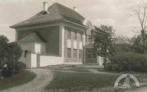
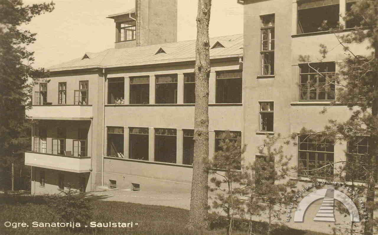
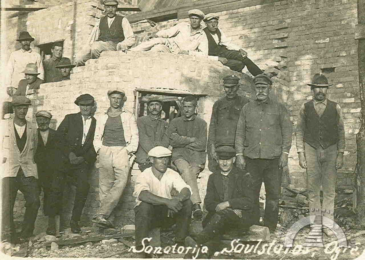
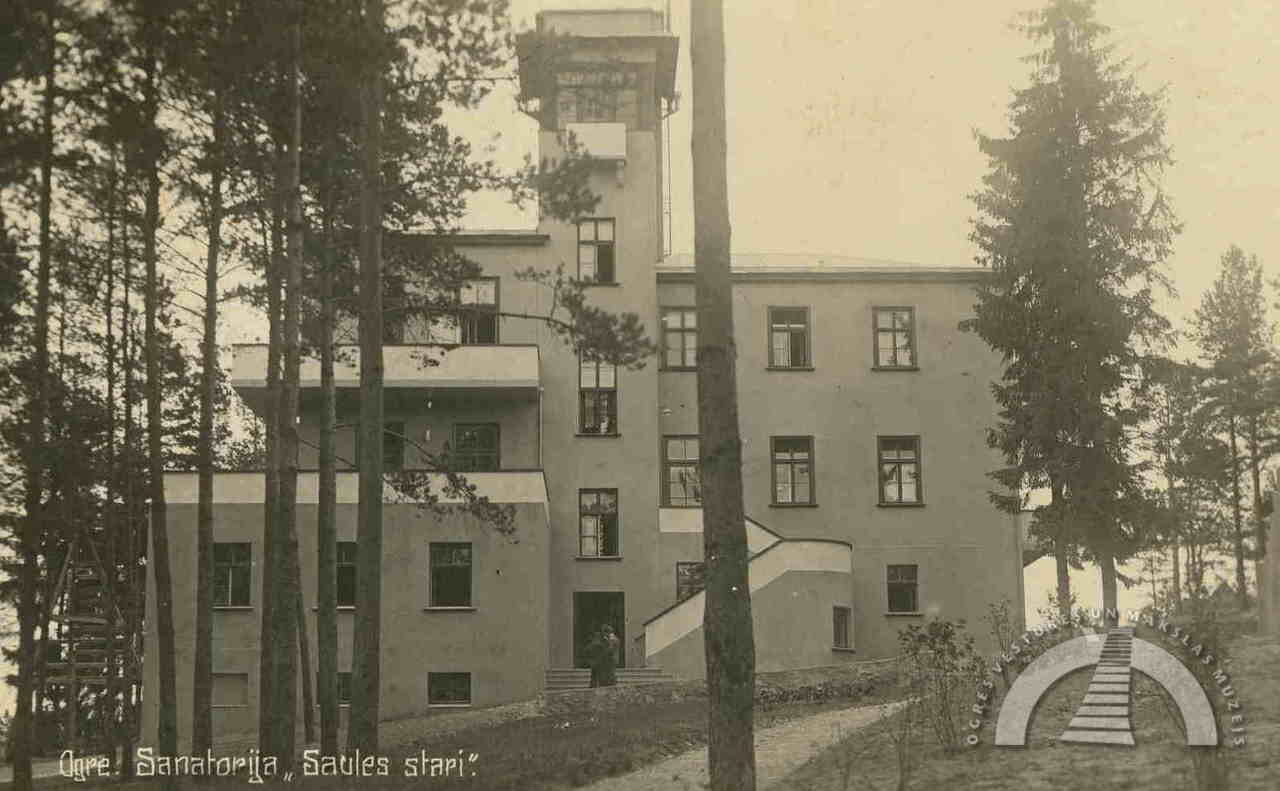
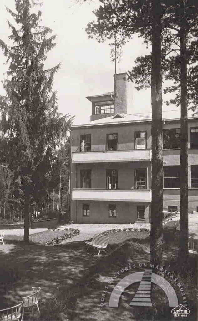
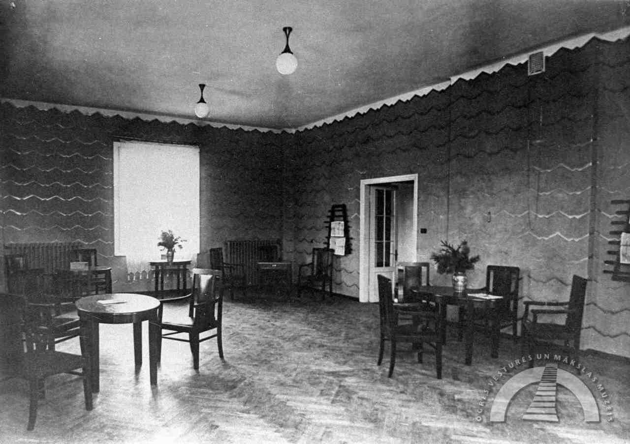
SANATORIUM “SAULSTARI”
Due to the unique natural and infrastructural conditions, the Latvian Anti-Tuberculosis Society and two sickness funds (health insurance organisations) decided to establish sanatoriums specifically in Ogre. The numerous hills, the Kangari ridge stretching through the entire city, and the dry pine forests were considered a particularly favourable environment for health improvement, as the air in […]

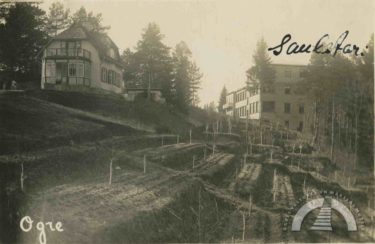
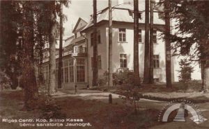
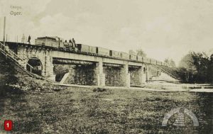
Due to the unique natural and infrastructural conditions, the Latvian Anti-Tuberculosis Society and two sickness funds (health insurance organisations) decided to establish sanatoriums specifically in Ogre. The numerous hills, the Kangari ridge stretching through the entire city, and the dry pine forests were considered a particularly favourable environment for health improvement, as the air in coniferous forests is rich in phytoncides, which have a strong antibacterial effect. Moreover, the railway line from Riga to Ogre, in operation since 1861, made it possible to reach the sanatoriums almost as quickly as today.
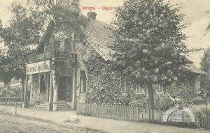
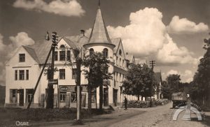
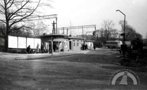
The sanatoriums in Jaunogre and Pārogre were purpose-built from the outset. For this reason, their locations were chosen near hills and forests, and they have always remained relatively secluded. In contrast, the former sanatorium building in the central part of Ogre has been significantly affected by the city’s development, which has altered its original surroundings. It is located next to the Riga–Daugavpils highway, so most residents of Ogre have likely seen this building many times.
More information about Ogre’s sanatoriums can be found in Volume 1 of the book Ogre Museum Writings – in Ilmārs Dirveiks’ study Sanatorium “Ogre” and Pārsla Pētersone’s article Ogresgrīva Manor, as well as in Karīna Horsta’s book Sanatorium Architecture in Latvia 1918–1940.
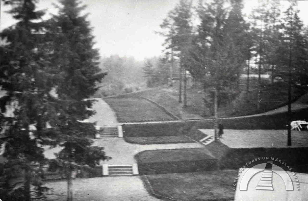
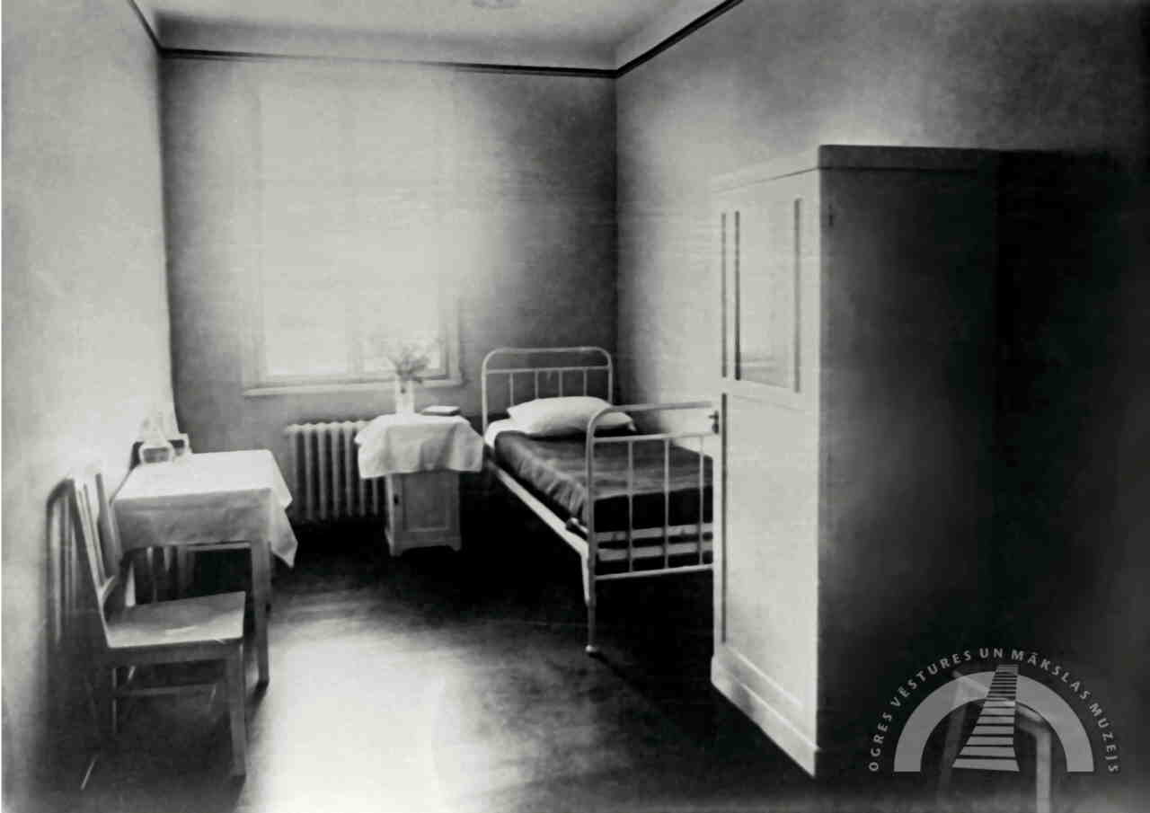
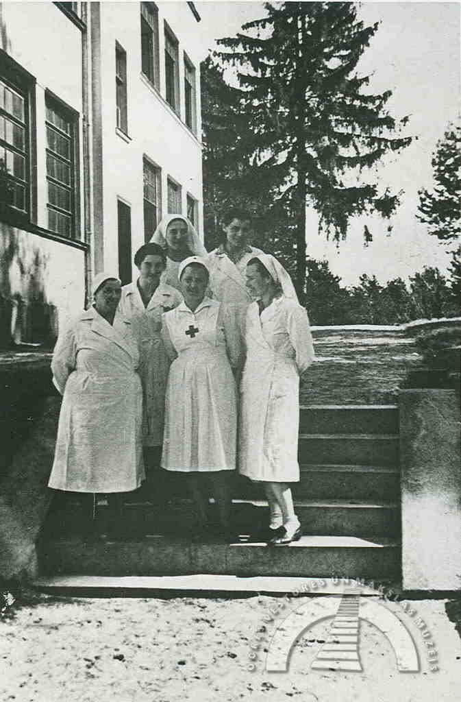
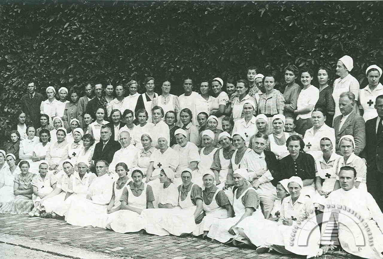
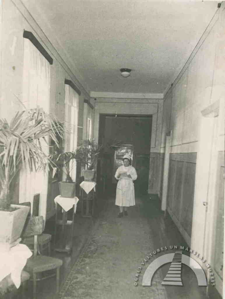
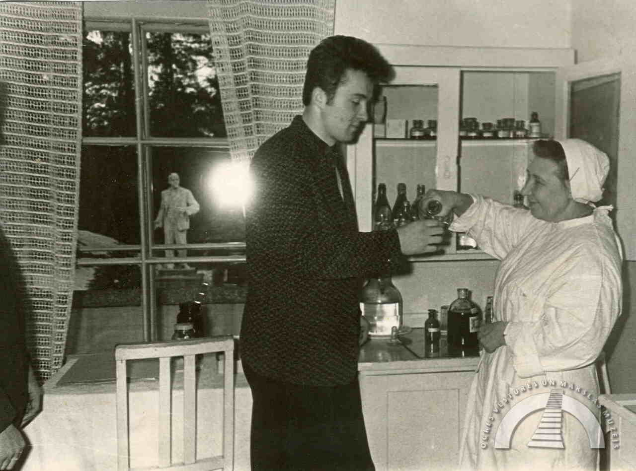
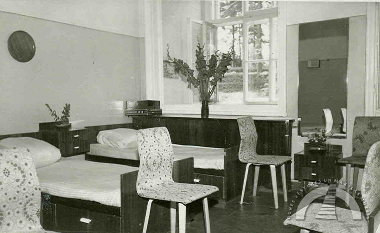
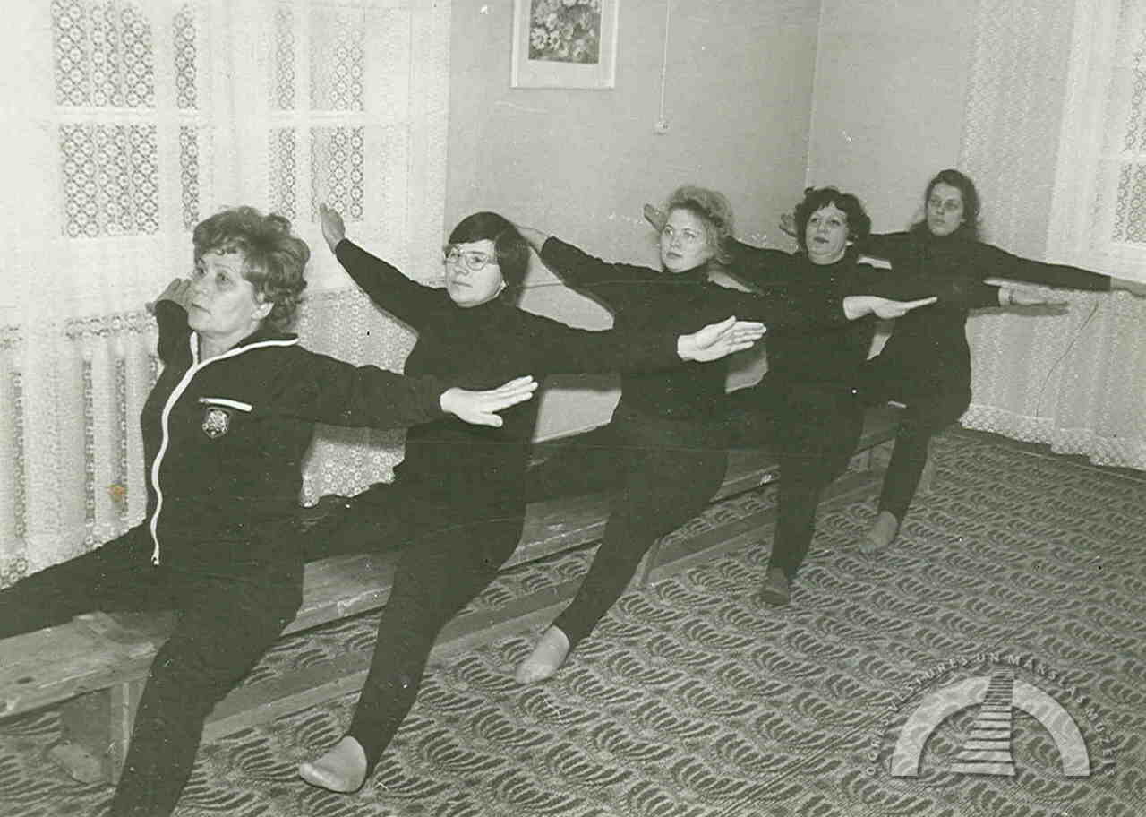
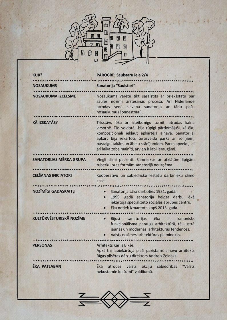
We invite you to explore the history of Sanatorium “Saulstari” through images and a concise description.
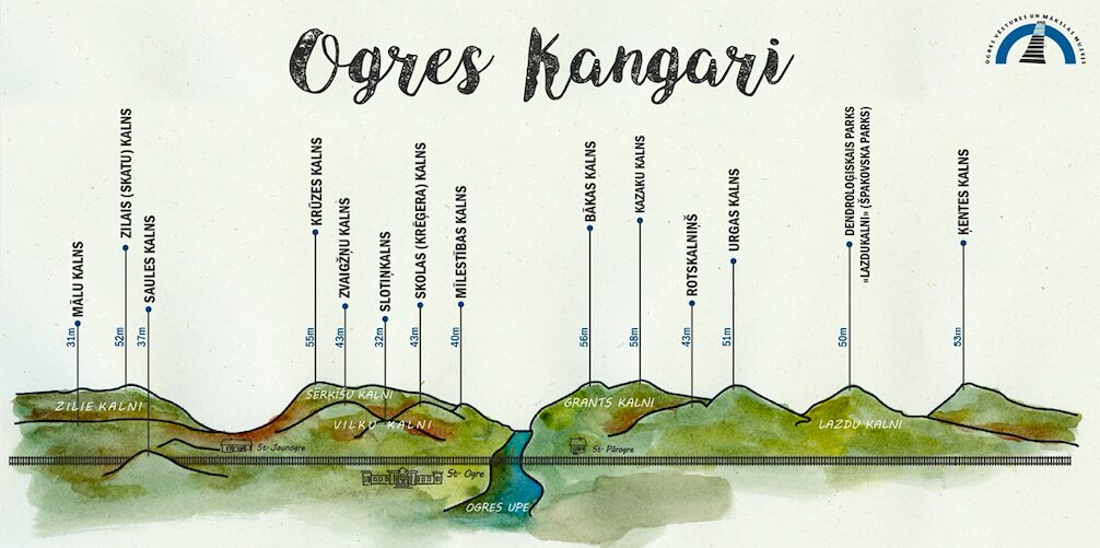
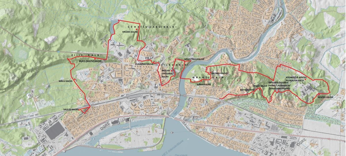
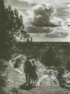
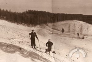
“OGRE KANGARI” HIKING TRAIL
We invite you to explore the hiking trail to better discover the hills of Ogre. View the photo gallery and read the story on the museum's website or Facebook page. By looking at historical images, you can compare how the city has changed over time. We have marked the route in the "BalticMaps" map browser. The “GPX” file is convenient to use with the LVM GEO mobile app. The total length of the hiking trail marked on the map is 14 kilometers (7 kilometers in Pārogre and 7 kilometers in Ogre center and Jaunogre). The hiking trail winds through both the urban part of the city (with asphalt, cobblestone, and gravel surfaces) and green areas (park paths and pedestrian-trodden forest trails without special amenities).